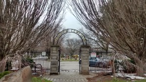
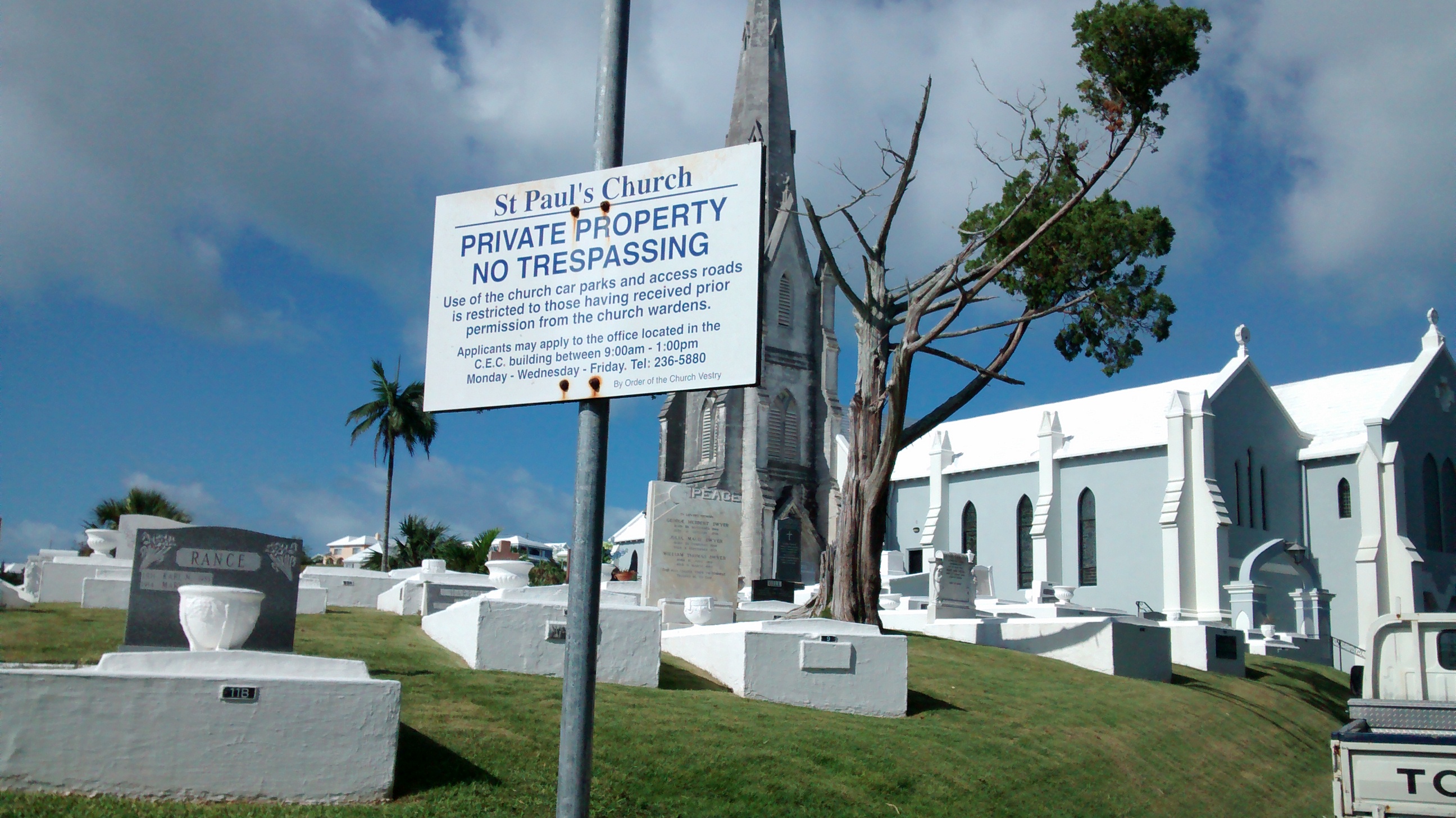
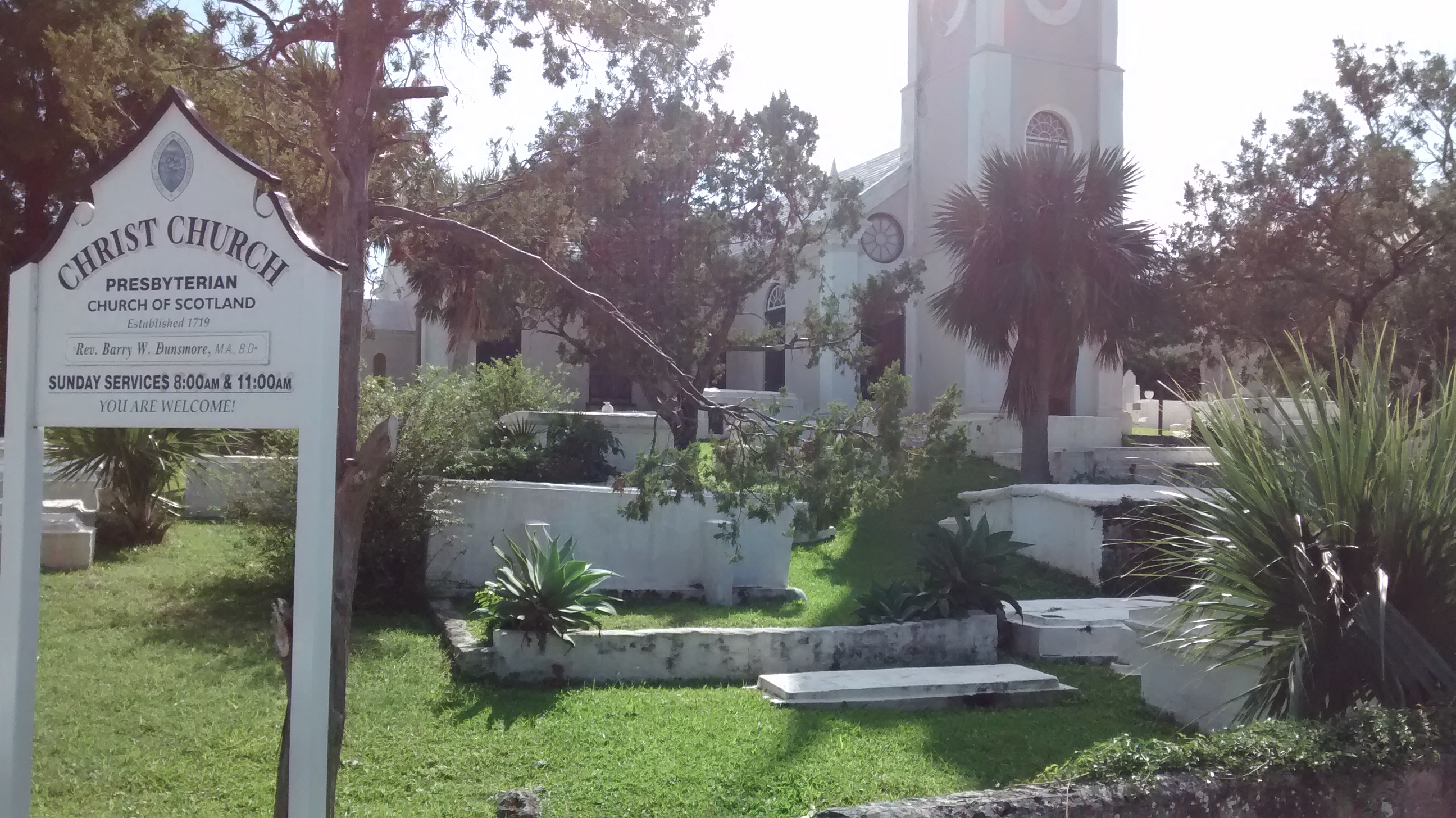
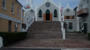
The preeminent cemetery in St. Georges Bermuda is the cemetery that surrounds St. Peter’s Church.
St. Peter’s Cemetery – St. Georges Bermuda
My tours of Cemeteries are always eventful. There’s always something exciting to see either within the cemetery or on the journey there.
This latest adventure trumps all previous cemetery hunting trips. I would like to give a special THANKS to everyone who sent well wishes. I would also like to thank everyone who has sent notes after my arrival in Bermuda. We sailed through a Category 1 Hurricane in the North Atlantic. Winds topped 70knts and our sailboat crested waves 30 feet high. We are currently compiling all my records, pictures, and video. In the coming weeks we will release a documentary on the trip to Bermuda and my study of the cemeteries there. Until the documentary is complete, I will begin posting pictures and recaps from the cemeteries I visited on the island. Please check back regularly and please let me know if there is anything special you would like to see or hear about.

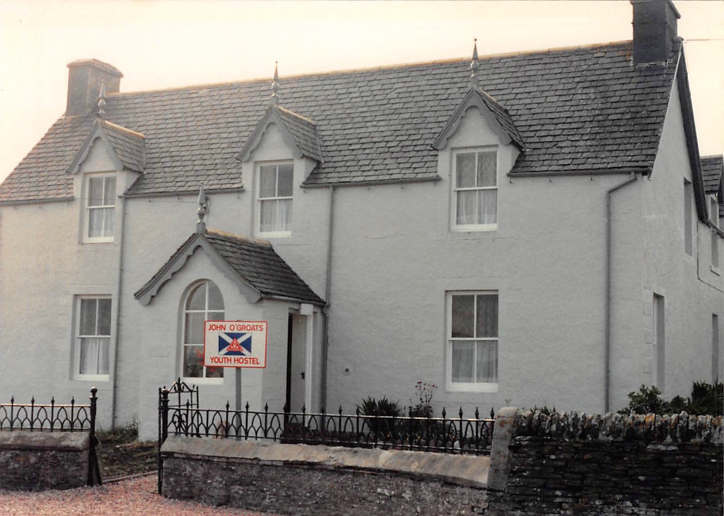
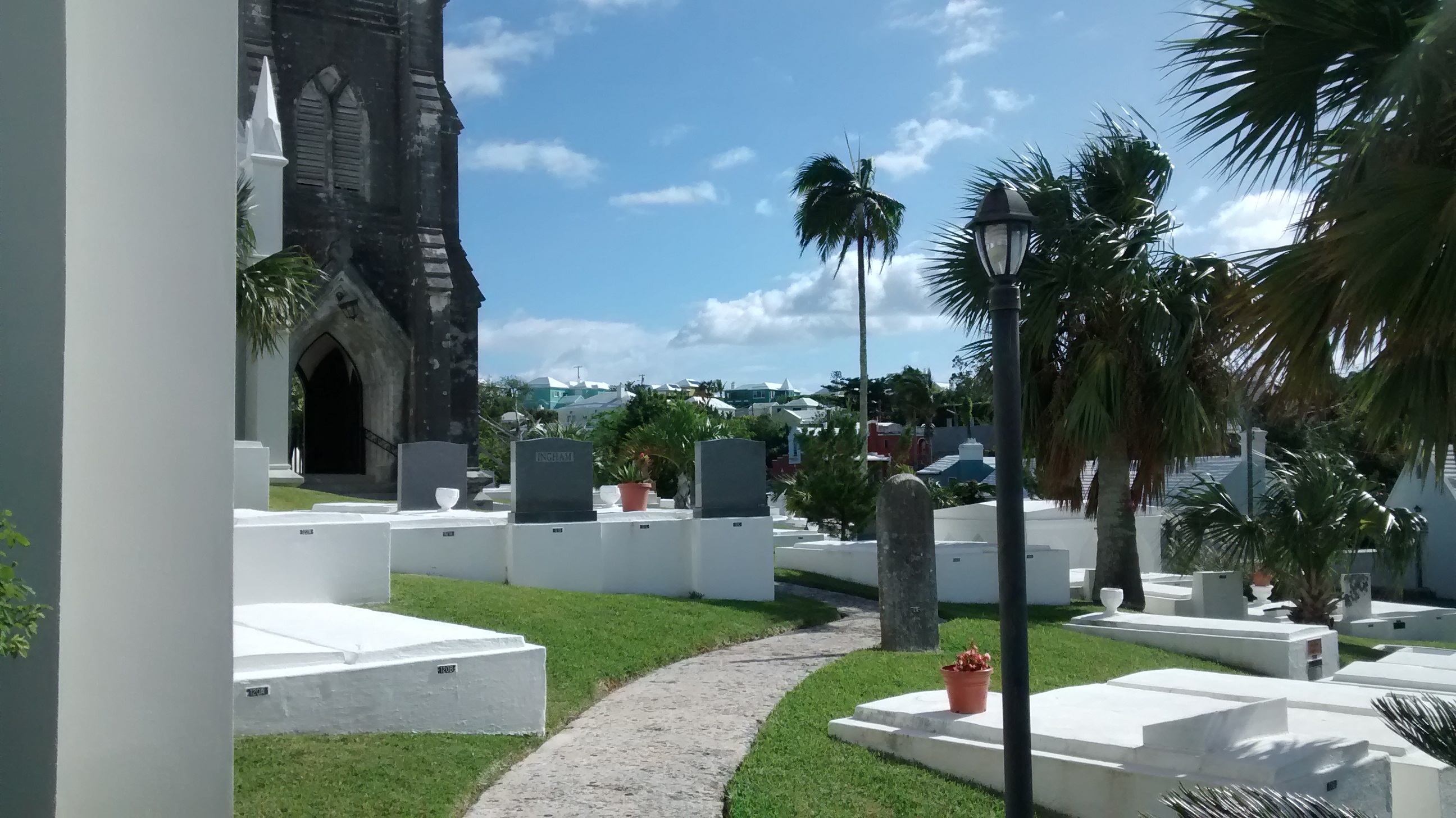
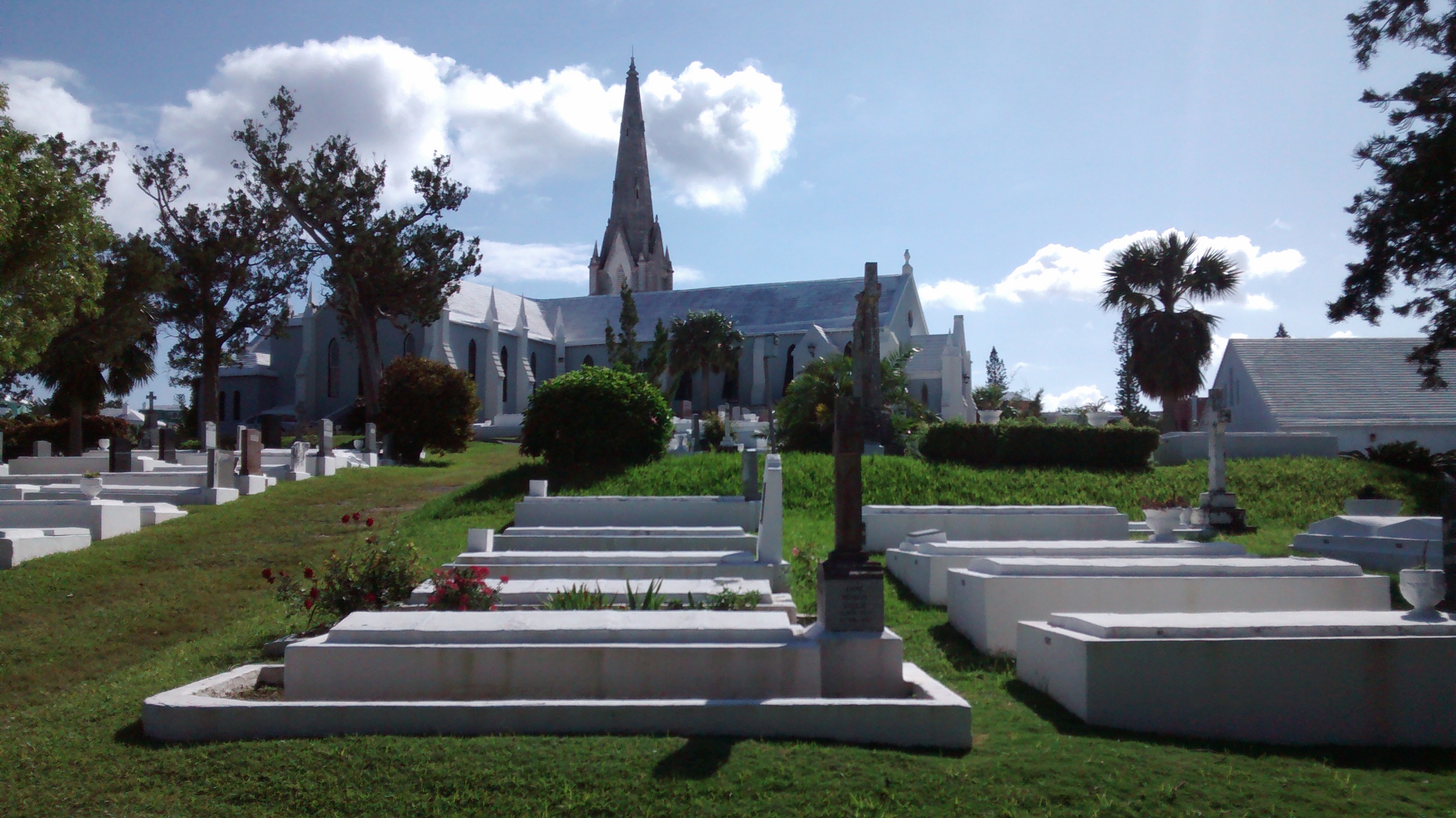
The preeminent cemetery in St. Georges Bermuda is the cemetery that surrounds St. Peter’s Church. Located 2 blocks from the Customs Agency in St. Georges, St Peter’s occupies its place on a hill overlooking York Street. St. Peter’s is within a blink of an eye from St. George’s Town Hall, the famous dunking chair, and the Whitehorse Saloon where I drank my fair share of Dark ‘n’ Stormys. Let’s talk about Dark and Stormys for a moment; this is the traditional drink for sailors coming to Bermuda. Over a table full of dark and stormys overlooking St. George’s Harbor, sailors recount their stories of mammoth waves, gale force winds, and the tentacles of sea monsters dragging their ships down to Davy Jones’ Locker. The camaraderie of sailors sharing stories is a bonding experience…my favorite part of arriving in port. And if your stomach is not yet up to a Dark and Stormy, GoJo’s Restaurant serves the traditional Codfish Dinner.
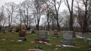
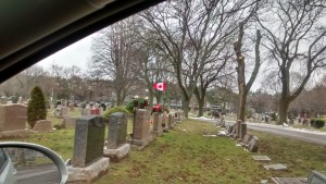
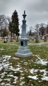
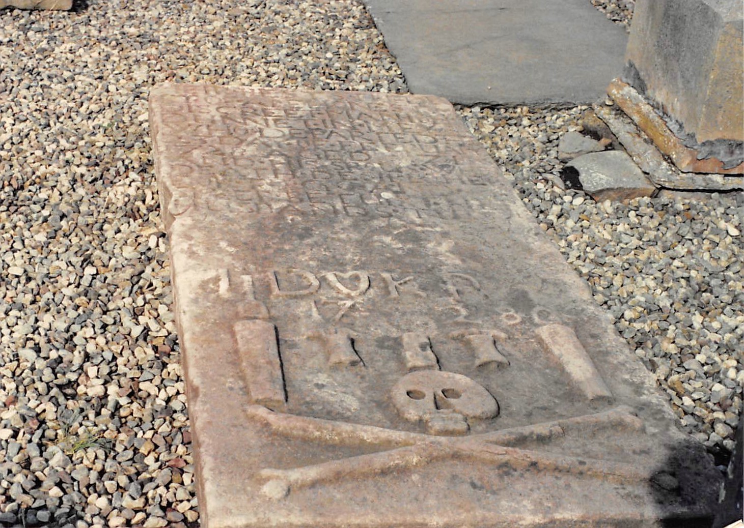
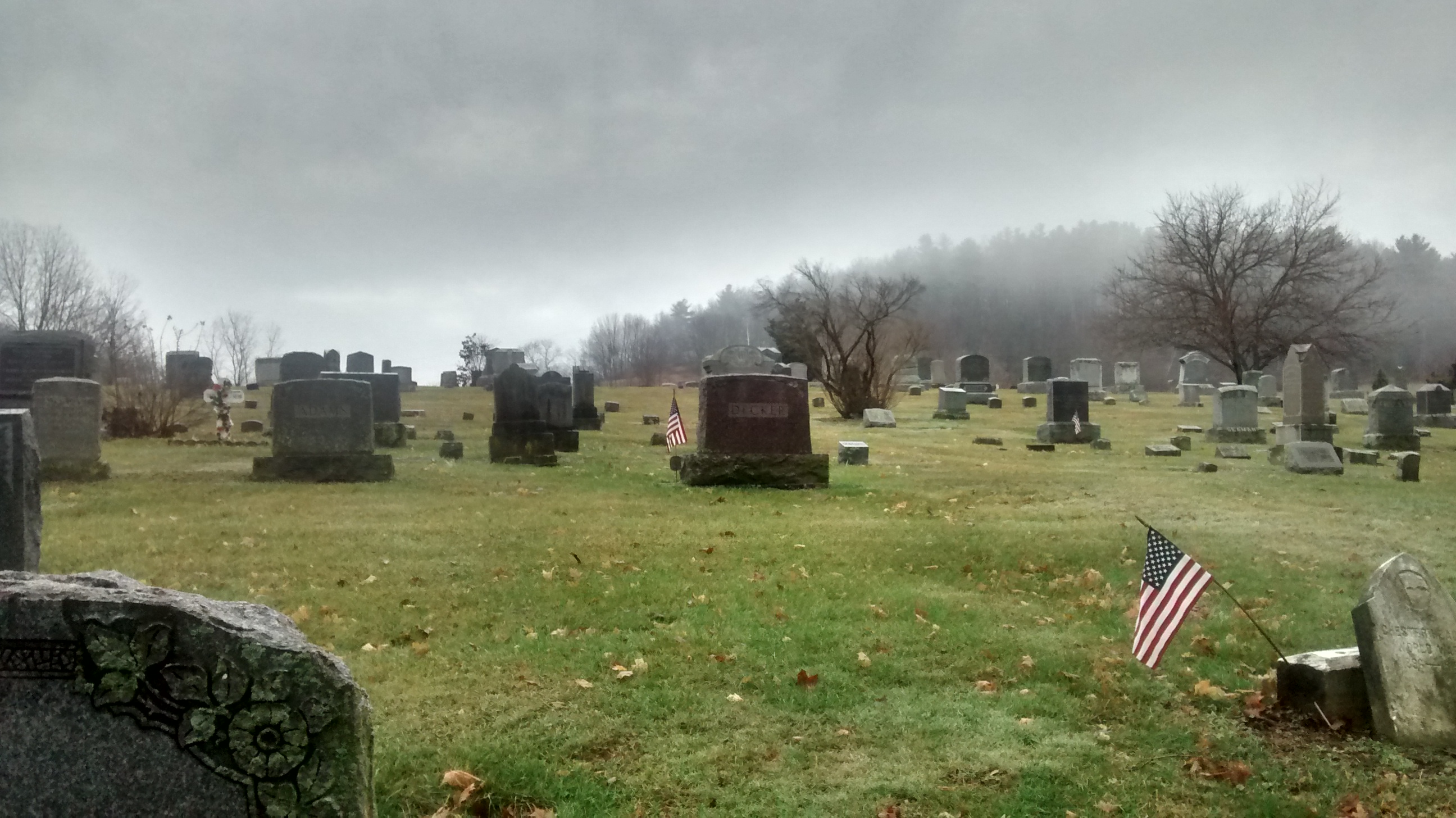
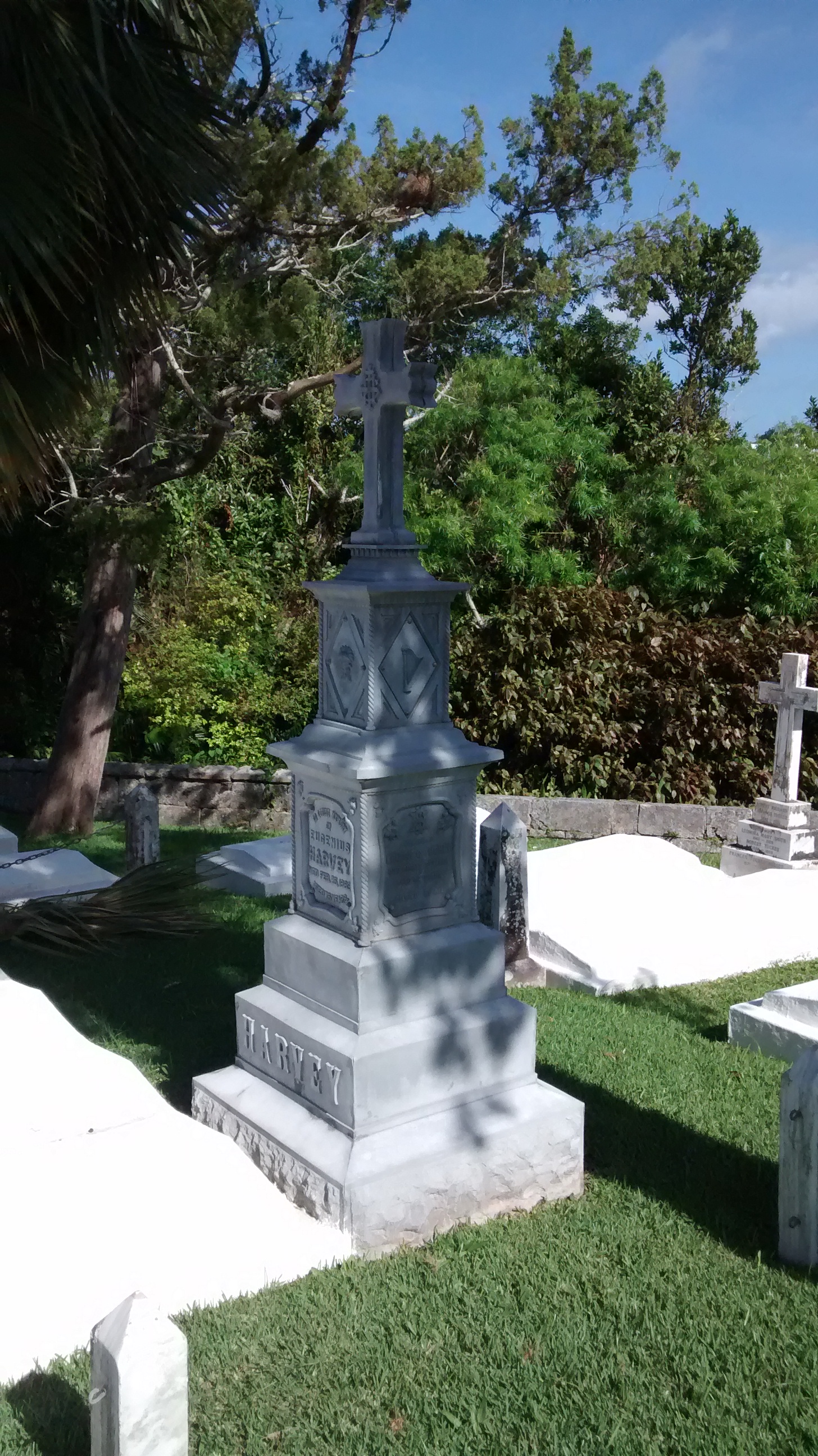
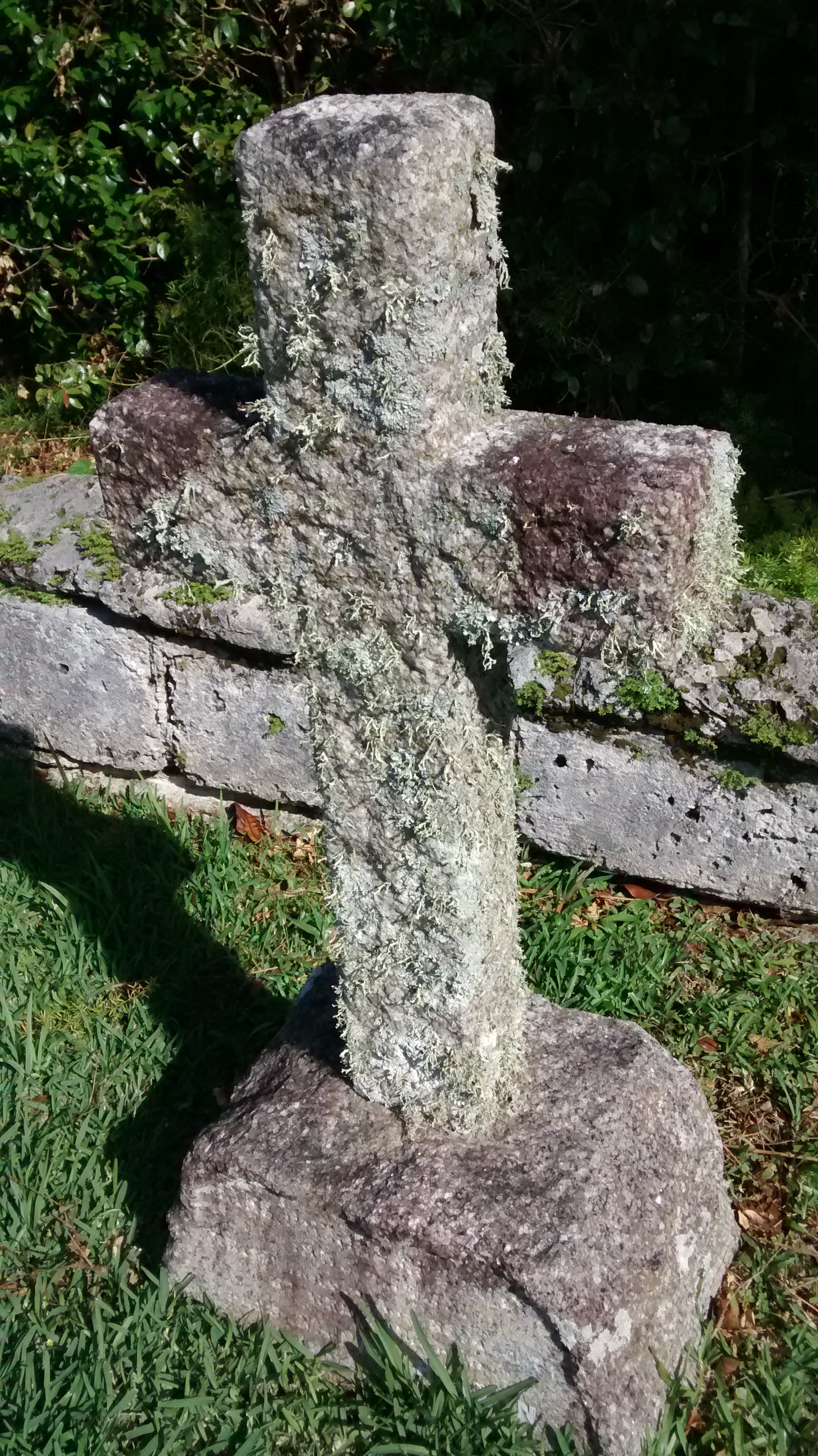
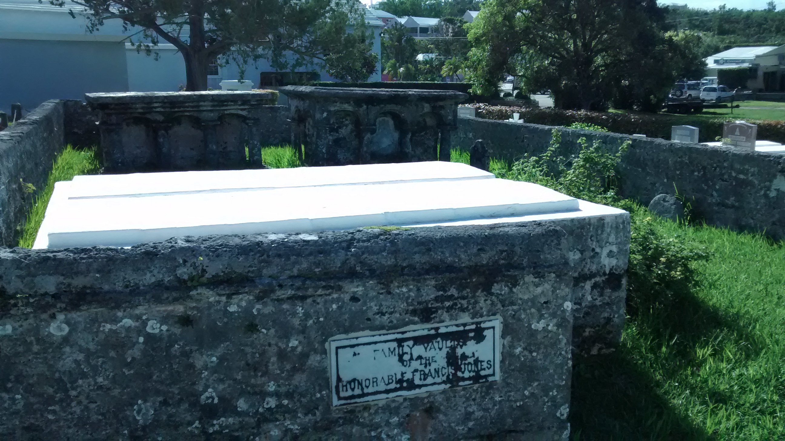
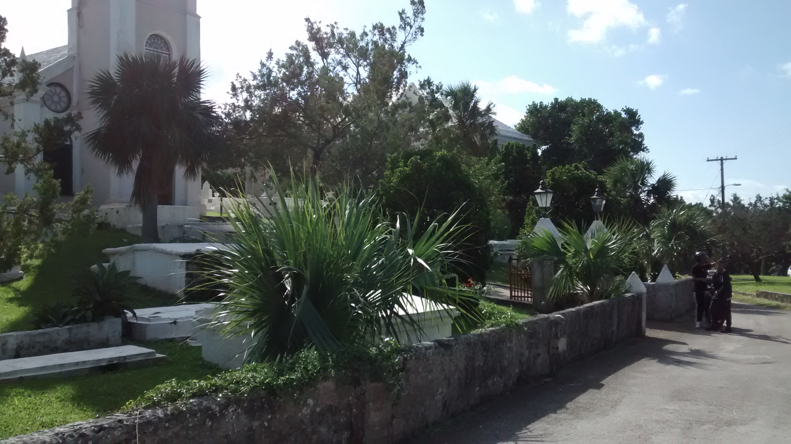
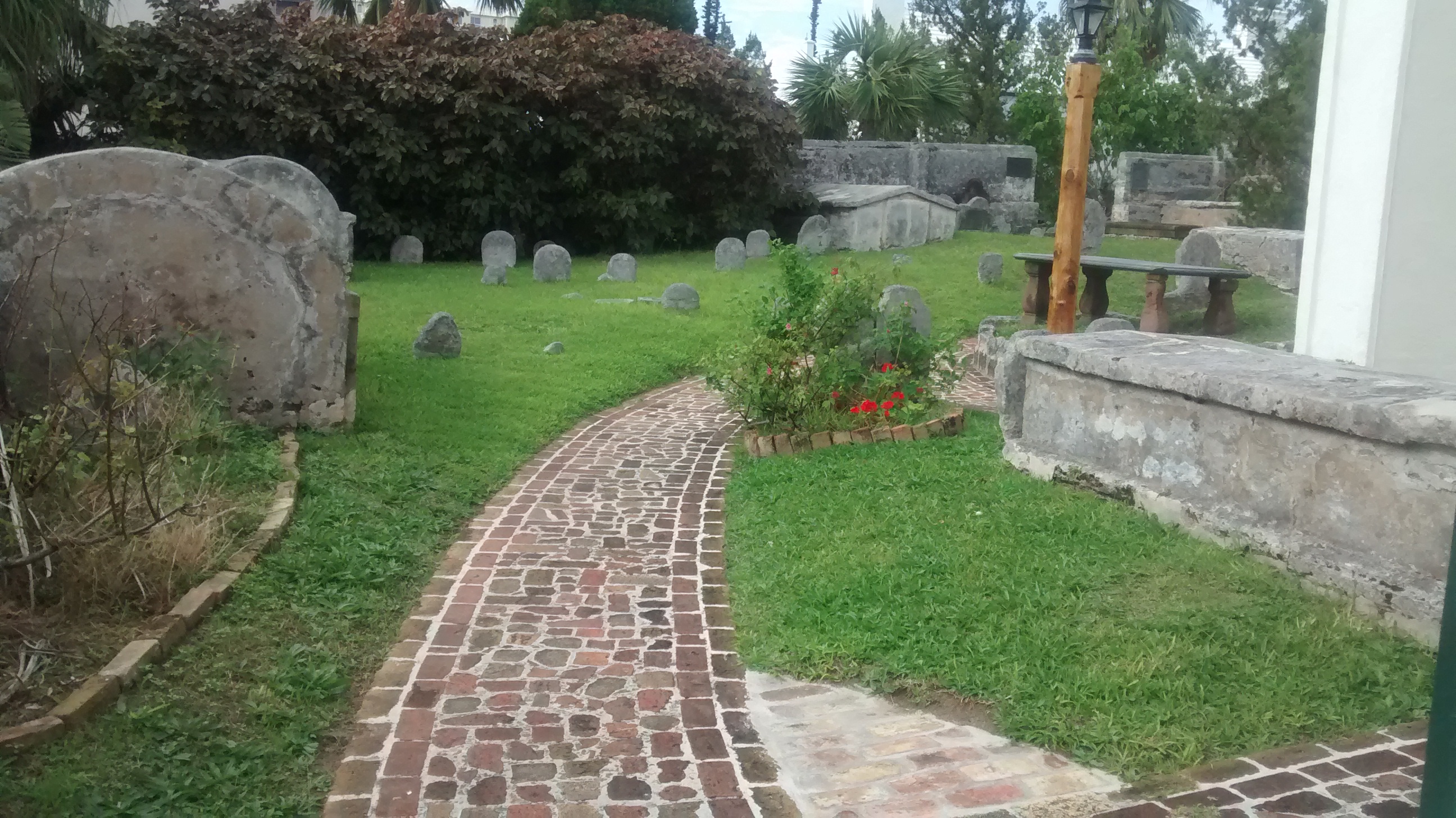
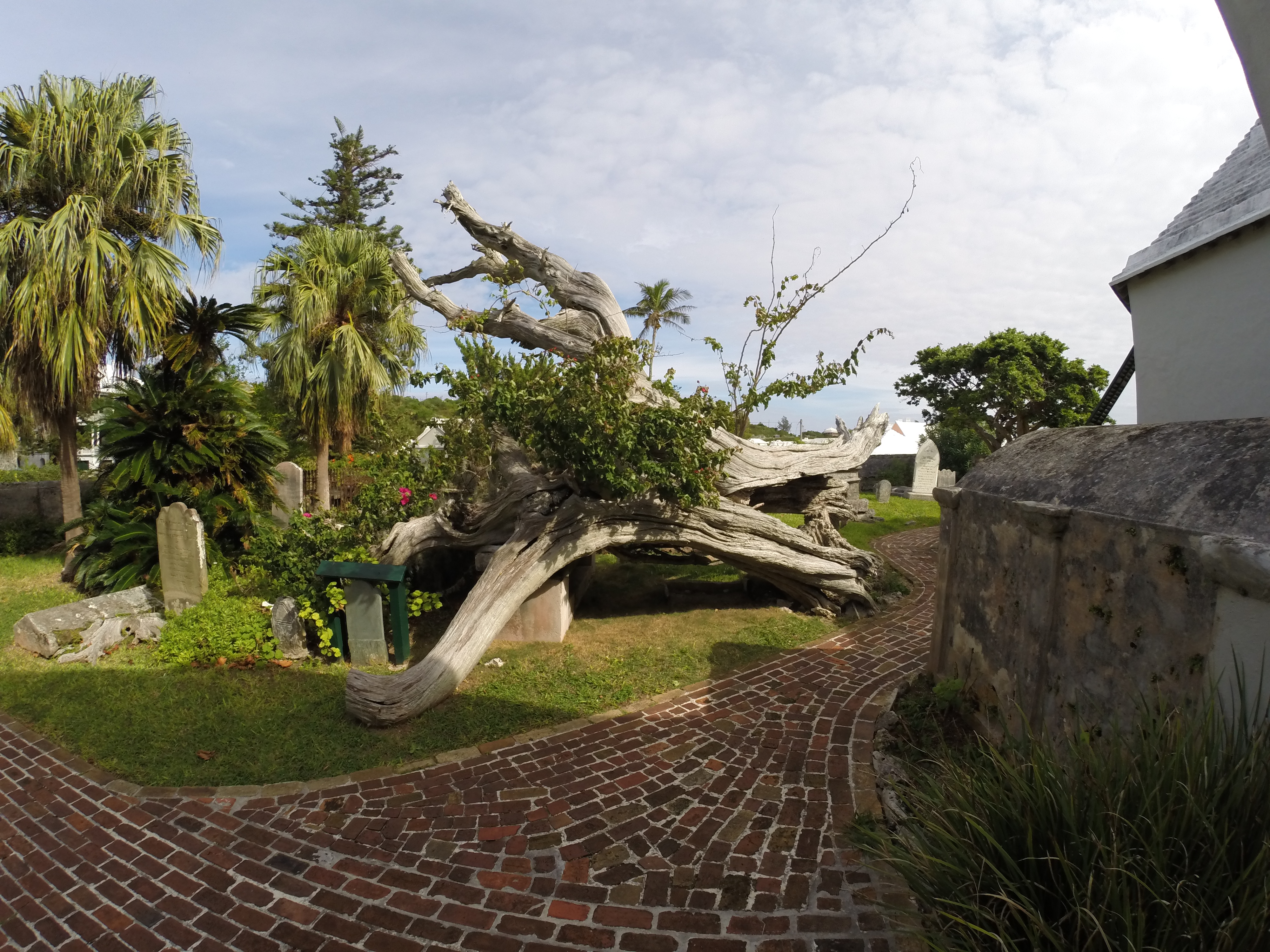
Ah….back to St. Peter’s. A bricked pathway leads through the cemetery. The burial ground is filled to capacity and, except for very rare occasions, no new burials are allowed. A walled off section includes burial plots of slaves prior to slave emancipation in 1834. The stones are old but in mostly good condition within the neatly manicured cemetery.

A Bermuda Cedar tree toppled during a storm in 2003 distinguishes the rear section of the graveyard.
Map of St. Georges, Bermuda with St. Peter’s at the center.