by: Keith (The Cemetery Detective)
Introduction
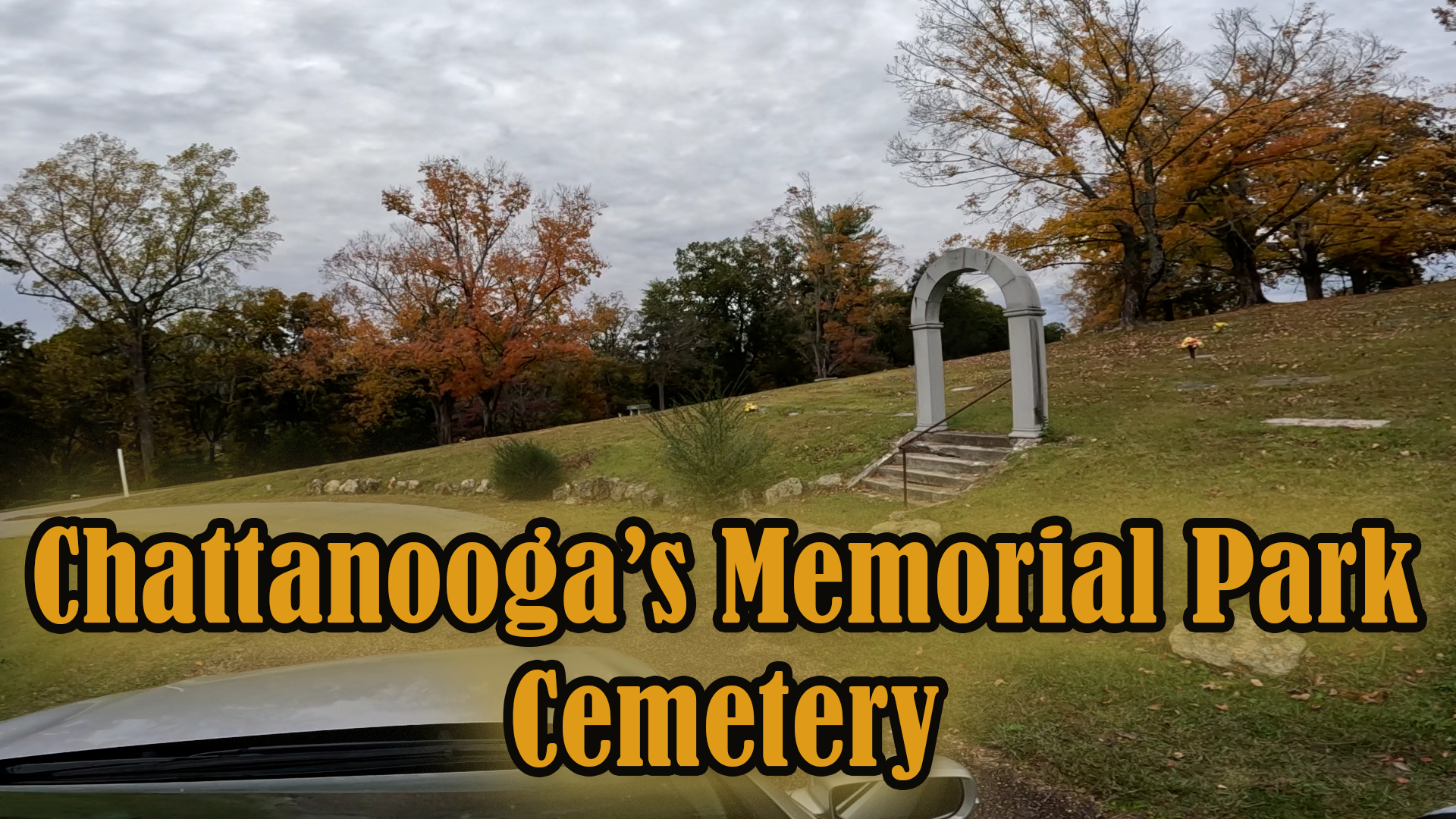
Located in Red Bank, immediately adjacent to the city of Chattanooga, the Chattanooga Memorial Park Cemetery (originally known as White Oak Cemetery) sits atop rolling terrain that once served both agrarian land and Civil War strategic positioning. According to its publication, the cemetery “has been an important part of the community for more than 125 years.” Dignity Memorial+1 During my recent documentation trip I mounted a high‐resolution camera to my vehicle roof and captured a full drive‐through of the internal roadways while simultaneously logging GPS track data. This combined approach enables a temporal and geospatial documentation of the site, preserving how the landscape, stones, and pathways looked in 2025 for future researchers.
Historical Context: Community, Industry, and Landscape
In the late 19th and early 20th centuries the Red Bank and Chattanooga region grew rapidly due to railroads, wrought‐iron and steel manufacturing, coal and ore transport, and the expansion of urban Chattanooga as a regional hub. Many of the people laid to rest in this cemetery would have worked in the mills, on the railroads (including the Nashville, Chattanooga & St. Louis Railway), or in the supporting industries of the Tennessee Valley. At the same time, the location of the cemetery on higher ground above the river valley gave it both scenic appeal and symbolic permanence.
Originally designated as White Oak Cemetery, the property was described in local history thus:
“West of Hill City across Stringer’s Ridge … the Sawyer farm was acquired, and converted into a cemetery typical of those of the era.” Chattanoogan+2Dignity Memorial+2
In 1925 the name changed to Chattanooga Memorial Park after additional property was acquired. Dignity Memorial
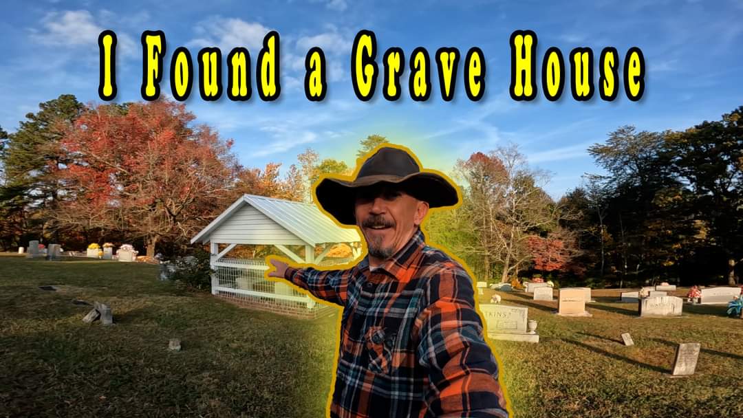
The grounds are described as being transformed into more of a park‐like setting (particularly after landscaping efforts by long‐tenured caretakers) with features such as a duck pond and mature trees, making the site more than simply a burial ground but also a place of community memory and quiet reflection. Dignity Memorial+1
Geology, Topography and Site Layout
The topography of the cemetery reflects the region’s geological and landscape context: elevated ridges, slopes down toward the valley, and underlying limestone or sedimentary bedrock typical of east Tennessee. While specific stone‐quarry sources for monuments may vary, the choice of stone material in many of the monuments corresponds with regional availability and economic status of the families buried there.
As the site moved from farm land (the Sawyer farm and White Oak Spring area) into a landscaped burial park, the internal roadways were laid out to follow natural contours rather than rigid grids. This “park cemetery” style meant that drives are winding, uphill and downhill, allowing views over the surrounding landscape and placing monuments on terraces or gentle slopes. This design approach enhances both aesthetics and circulation.
The inclusion of the duck pond and landscaping was an early 20th‐century enhancement. The water feature further demonstrates the blending of utility and beauty: gravesites tied into a park‐like environment rather than strictly a cemetery yard. Chattanoogan+1
My Temporal + Geospatial Documentation Effort
In line with the mission of The Cemetery Detective, my work at Chattanooga Memorial Park Cemetery followed a structured methodology:
- Video Capture: Using a roof‐mounted high-resolution camera on my vehicle, I recorded a full drive‐through of all accessible internal roadways. This footage provides a continuous visual record of monuments, road surfaces, vegetation, signage, and overall condition of the cemetery at the date of recording (October 2025).
- GPS Logging: Simultaneously I ran a dedicated GPS datalogger, logging positional data at high frequency (1-5 second interval). This produces a GPX track representing the exact route taken around the cemetery.
- GIS Integration: After fieldwork, I imported the GPX track into QGIS (or ArcGIS) and with the future availability to overlay it with additional layers, such as:
- Roadway polylines derived from the GPX track
- Monument point layers (with attributes: material type, erection date, condition, inscriptions)
- Special feature layers (duck pond, elevated ridges, park landscaping zones)
- Temporal metadata linking frames of the video (via start time) to GPS coordinates.
This allows for queries like “show all granite monuments erected before 1950,” or “highlight sections of the cemetery where road surface appears recently repaved or vegetation encroaching.”
- Shareability & Future Use: By making these layers (GPX track, CSV/GeoPackage of monuments, and the video) available for download and archival, future preservationists, genealogists, and local historians can reference exactly how the cemetery looked in 2025, even as time (and weather, vegetation, development) inevitably changes the site.
Preserving Memory, Managing Change
Cemeteries like Chattanooga Memorial Park serve dual roles: resting places for individuals and collective memory landscapes for the community. The Red Bank/Chattanooga region continues to evolve with residential growth, infrastructure changes, and shifting maintenance regimes all affecting the condition and appearance of the cemetery. By providing a base-year documentation (2025) that is both visual and spatially precise, we create a benchmark against which future change can be measured.
For example: if in five years a major tree falls and damages monuments in a section; or if resurfacing alters the alignment of a road; or a cluster of older marble headstones begin to tilt, having a linked video + GPS + GIS dataset allows one to show exactly where and when change occurred.
Conclusion
My work at Chattanooga Memorial Park Cemetery in Red Bank/Chattanooga, Tennessee, is grounded in the belief that historic cemeteries merit the same precision of documentation as any heritage site. Through mounted video, synchronized GPS logging, and GIS layering, I am capturing a snapshot of this landscape as it stands in 2025. By doing so, we are able to honor not only the individuals interred here but the communities, industrial heritage, and topographic character that shaped the burial ground. Through these efforts conducted by myself and other cemetery enthusiasts, we equip future generations with a tool to monitor, research, and preserve this important piece of Chattanooga’s past.